Featured Research Labs

Program Overview
Cross-cutting institute expertise that supports all NRRI programs and projects, from developing web-based tools, databases and custom web applications for visualizing and analyzing data to material testing, spatial analysis and custom laboratory design and construction.
Recent Research
- Drone technology advances science
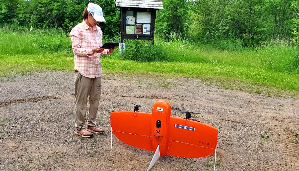
- A new fixed wing Unmanned Aerial Vehicle was acquired with vertical take off and landing capability, higher resolution cameras, and increased flight duration; it allows collection of imagery in locations previously inaccessible.
- Demonstrated improved classification accuracy of peatland vegetation in imagery collected with our Unmanned Aerial Vehicle, making significant progress towards the goal of remote monitoring of sensitive ecosystems.
- Provided GIS services, satellite imagery acquisition, image classification, and database development for research groups across the Institute.
- Improved iron mining waste pile database documenting resources most suitable for development. This information will serve the industry as interest grows in using existing waste piles as a source of iron.
- Artificial Intelligence/Machine Learning (AI/ML) is being incorporated in predictive tools in partnership with National Renewable Energy Lab scientists.
- New Green Chemistry iron titration method developed to remove toxic reagents while improving accuracy and precision of results.
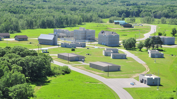
- NRRI Engineering team collaborated across the Institute to plan, design, and deliver enhanced research facilities.
Featured Research Projects
Related News

NRRI’s new vertical take-off drone improves efficiency and accuracy of data-gathering.

NRRI study maps conservation opportunities for Camp Ripley Sentinel Landscape in face of climate change.

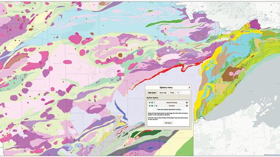
An easy-to-use online Minnesota Atlas, developed at the Natural Resources Research Institute, received recognition from the Office of the Governor as recommended by the Minnesota

NRRI Scientist Will Bartsch delivers easy-access, data-driven information for good resource decision-making.

State funds development of a GIS tool that puts 400 layers of information at finger tips for better planning, management

Entrepreneurs find support organizations working together on their behalf in Northeast Minnesota to drive success.

NRRI's Business Development team strategically manages client relationships and builds opportunities for research.
Media Coverage
- – MNAtlas.org wins University of MN Innovation Impact Award – Duluth News Tribune
- – ForCAST is a modeling tool to help plan future forest management – WDIO


