
This project assesses which habitats non-native mystery snails prefer to determine if they are a threat to wild rice. It will also evaluate the success of tribal-led efforts to remove mystery snails from lakes.

Non-native, invasive crack willow trees have invaded miles of stream banks around Duluth. Confounding decisions about control, these trees may have both positive and negative effects on stream ecosystems.

This project will demonstrate the feasibility of the short-rotation woody plant-based phytoremediation to capture sulfate from lake water and manage water level by utilizing hybrid poplar.
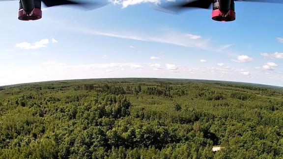
A study of habitat and survival rates of species in decline to inform forest management practices.

The Midwest Industrial Transformation Initiative (MITI) is a unique collaboration between research institutions, industry partners, Tribal entities, and state and community leaders.

The ForCAST tool attempts to provide forestry professionals and land managers with an opportunity to evaluate how a changing climate and changing markets might affect Minnesota’s forests and the ecosystem services that they provide.

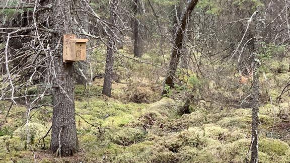
The Minnesota Fisher Den Box Project is focused on evaluating an emerging habitat management tool to address the declining MN fisher population.

A website of the state's carnivore species -- from the tiny least weasel to the black bear.
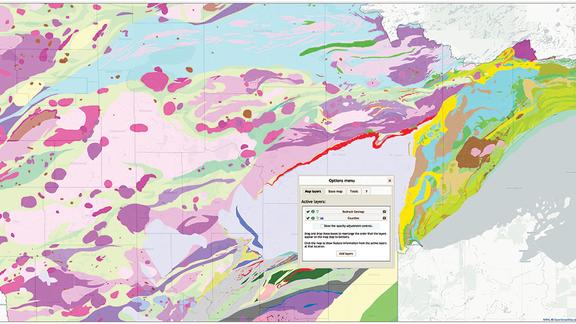
Online mapping tools and data for natural resource planning, management, and research in Minnesota.

The goal of this project was to develop a model that predicts potential beaver dam locations based on stream channel, watershed and habitat characteristics.

Demonstration of a Thermally Modified Eastern Larch Boardwalk to Catalyze New Markets for Low-value Timber.

Developing a durable road repair patch utilizing taconite tailings, the waste rock left over from the iron ore mines on Minnesota's Iron Range.
Use a combination of wildlife, vegetation, and hydrology (water) measurements to determine the impacts of logging on peatland forests.
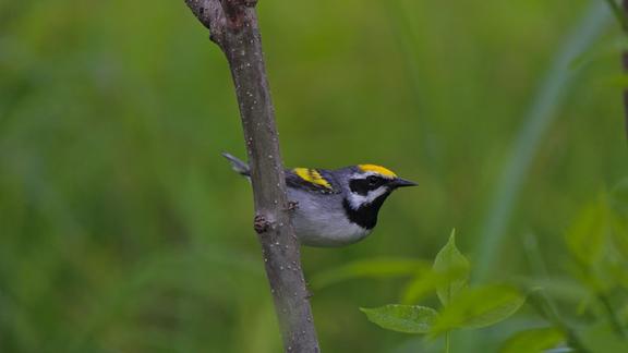
The Minnesota Breeding Bird Atlas documents the distribution of every breeding bird species in Minnesota and provides a solid foundation for future conservation efforts.
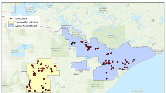
Documenting long-term population trends of breeding forest birds in the Chippewa and Superior National Forests.