To flip a well-worn sports phrase: The best defense against the negative impacts of climate change is a strategic offense. And that’s what the Camp Ripley Sentinel Landscape Partnership is preparing for.
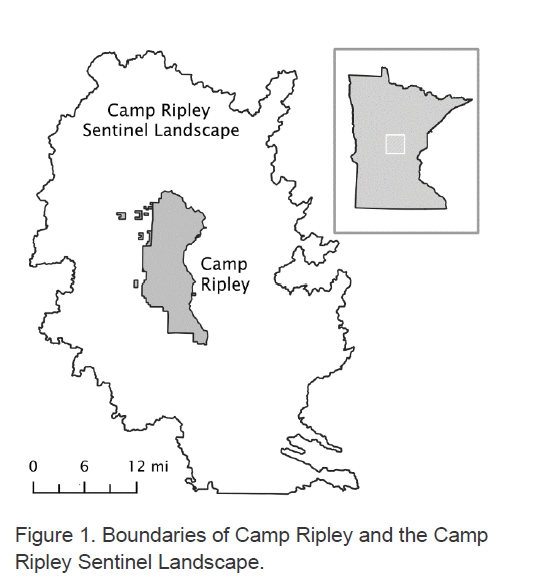
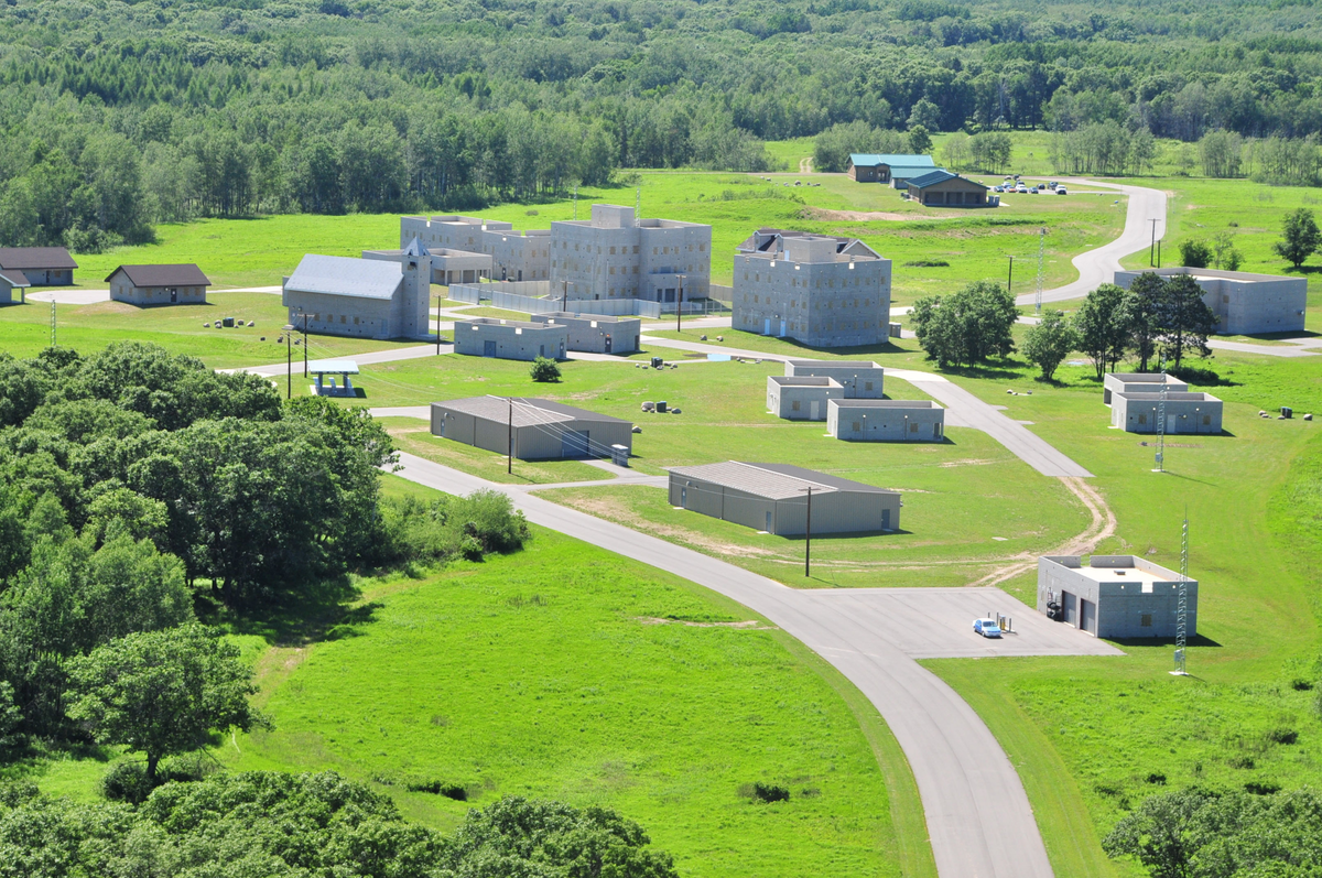
NRRI recently submitted the results of a year-long study of the Sentinel Landscape – 805,000 acres of natural and working lands anchored by the Minnesota National Guard base. It serves as a beautiful buffer that helps minimize disturbance from military training exercises.The report details NRRI’s assessment of the lands’ climate vulnerabilities and offers strategies to build and enhance the acreage’s resilience.
“High quality habitat – one that supports intricate ecological balance – tends to be more resilient to change than low quality,” explained Will Bartsch, NRRI Data Collection and Delivery research group leader and project principal investigator. “Identifying and protecting that habitat is one way you can improve resilience on the landscape.”
NRRI’s broad expertise across many disciplines was important to develop the needed data for the Partnership. Scientists who study streams, geographical information systems experts, wildlife biologists, and a landscape ecologist with knowledge of carbon sequestration markets all came into play.
“And as part of the University of Minnesota research enterprise, we could tap the Minnesota Climate Adaptation Partnership which was really helpful,” said Bartsch. “We are fortunate to have access to this multi-sector, statewide group working on climate adaptation.”

For What’s Ahead
The Sentinel Landscape is located in the Mississippi River watershed in central Minnesota. NRRI provided models that indicate projected changes to river and stream water quality and quantity in future climate change scenarios. For example, if the models show substantial changes to water flow in streams, the report suggests that the protection and restoration of wetlands within those watersheds could help store more water on the landscape, moderating both high and low flows.

At-risk birds and mammals within the landscape were also identified, especially the golden-winged warbler, red-shouldered hawk, northern long-eared bat and the Blanding's turtle.
"We were able to identify and rank areas on the landscape that could be targeted for conservation, preservation or restoration that could support populations of those at-risk species,” Bartsch said. “That’s strategically important to their goals.”
The NRRI report also identified marginally productive agricultural lands that would be good restoration targets for wetlands, prairie or forests. NRRI provided both physical maps and digital spatial data that can be further explored and used to prioritize conservation and restoration activities.
Camp Ripley’s Sentinel Landscape was created in 2015. Concerns about the impacts of rural development and climate change to the ecosystem, and ability of Camp Ripley to conduct training, spurred the need for evaluation and strategic planning.
“It's been really interesting to learn about local partners and active groups that can partner with federal agencies to bring in funding and put it to good use,” said Bartsch. “Soil & Water Conservation Districts and groups like The Nature Conservancy… these organizations really drive the success of this landscape.”
