Mapping tools – think, GoogleMaps or MapQuest – have become indispensable for people navigating an unfamiliar neighborhood.
But to get deeper, detailed landscape, resource and demographic information, professionals turn to powerful geographic information system programs that create maps, compile geographic data, and analyze mapped information, while allowing for discovery and information sharing.
That level of detail is critical in resource management, planning and development. But the expense and training needed to use these robust tools is out of reach for many municipalities, non-governmental units, non-profits or businesses – and the rest of us.
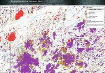
The Natural Resources Research Institute at the University of Minnesota received state funding to take some of the functionality of the powerful GIS tools and make it accessible and free. The Minnesota Natural Resource Atlas (mnatlas.org) is now launched statewide and ready to use.
It could help a city planner better understand different land use issues, societal demographics, and watershed boundaries.
A natural resources manager could find detailed landscape information to develop smart restoration efforts.
Town councilors might need infrastructure and land cover data to plan new development.
Data with a click
The Atlas provides users access to nearly 400 layers of data in 10 categories: agriculture, biota, boundaries, climate, environment, geology & topography, imagery & land cover, infrastructure, society & economy and water.
“Our goal was to build a tool that anyone could use,” said Will Bartsch, NRRI senior research scientist and lead researcher on this project. “It’s designed for people that have limited or no GIS skills. Ultimately, it removes some of the technical barriers that can get in the way of good decision-making and planning.”
Principal Investigator Lucinda Johnson assembled a large team of NRRI, Minnesota Sea Grant, and University of Minnesota researchers, computer programmers and educators to plan, develop and deliver the Atlas. And outside expertise was brought into the project through the formation of multiple advisory committees.
During its development, the team worked closely with individuals and organizations that work on natural resource issues. Kari Hedin, a watershed specialist with the Fond du Lac Band of Lake Superior Chippewa, took part in the effort. She especially appreciated being able to give input into the new tool.
“Specifically, we wanted the 1854 Treaty Authority’s map of wild rice lakes data in the Atlas.” she said. “And when we all started working from home, I didn’t immediately have access to my curated maps on my work computer. I could quickly get the data I needed on the Atlas on an even broader scale.”
Getting the word out
But potential users need to know how to access it and what it can do for them.
That’s why Bartsch and outreach coordinator Cindy Hagley spent the past year giving online training courses. It was a format that worked especially well during the pandemic lock-down.

Planning for natural resources management is often done at the local – township, city or county – level. To reach those local organizations, NRRI collaborated with the Minnesota Board of Soil and Water Resources (BWSR) to deliver multiple training sessions, providing these new users with a unique tool for accessing, exploring and sharing data. Natural resource conservation is at the core of BWSR’s mission, along with coordinating those efforts across multiple stakeholders – from agency partners to private landowners.
“What’s really helpful to us is that you can compile the data layers you need for a project and then make a link that you can share,” said Jon Sellnow, training and program coordinator at BWSR. “We can show a landowner the maps and they can see exactly what you’re seeing. It’s easy to use and free.”
Access for all
While the target audience for the Atlas is communities, industries and smaller governmental and non-governmental organizations that might not have access to a robust and expensive GIS team, it’s gaining popularity with the general public, as well. Anyone can access information on public fishing sites, lake depths, wetlands and wild rice lakes. Or maybe a new park or trail to explore.
The Minnesota Natural Resource Atlas started in 2016 by covering Northeast Minnesota. An additional 2019 legislative appropriation from the state through the Legislative-Citizen Commission on Natural Resources (LCCMR) funds allowed Bartsch and the Atlas team to expand it statewide.
“It wasn’t just a matter of taking the data we had and expanding it,” said Bartsch. “We relied heavily on our advisory committee members from all over the state to find out what data were needed in each region. We had a good handle on mining and forest issues, but we really had to work with partners to get more information on other issues, especially agriculture.”
Professor David Mulla, UMN Department of Soil, Water and Climate, is leading the development of new datasets relevant to agriculture that will be useful for implementing best management practices for farming.
The Natural Resources Atlas is a unique tool for Minnesota, with Vermont being the only other state to have something similar. And as more people use it, Bartsch hopes to continue getting feedback for ongoing improvements.
The mission of NRRI is to deliver integrated research solutions that value our resources, environment and economy for a sustainable and resilient future.
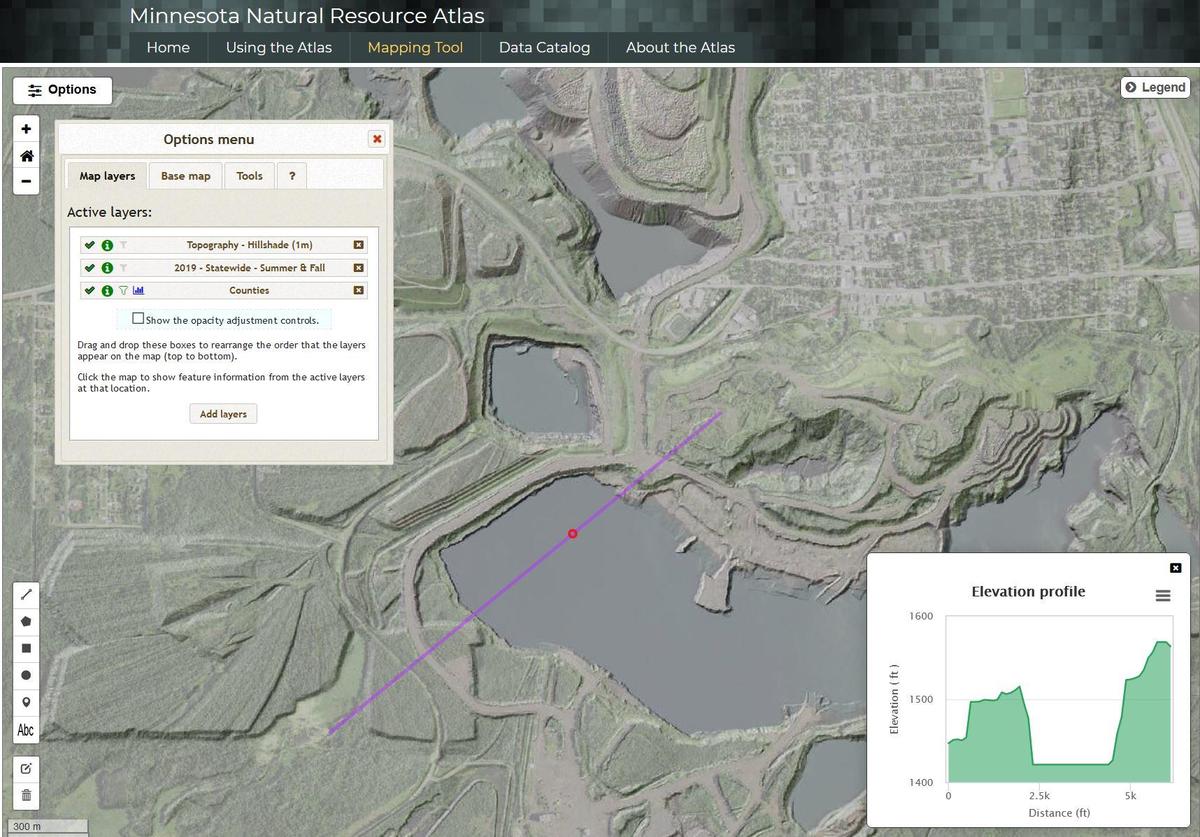
Image above: Map of Eveleth, Minn., made on the statewide atlas using aerial imagery and a hillshade option to accentuate land cover and topography with an elevation profile.
