Project Overview
Small organizations, including many that work on natural resource issues, often lack the capacity to use spatial data in their decision making processes. This has generally required expensive software and considerable specialized training. Researchers at the Natural Resources Research Institute, along with collaborators at the University of Minnesota Center and Minnesota Sea Grant, are working to remove those barriers through the development of the Minnesota Natural Resource Atlas.
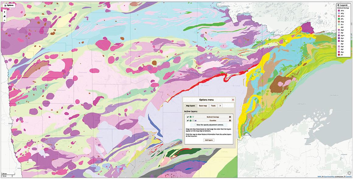
The interactive map-based Atlas provides a basic set of GIS tools for exploring, visualizing, and analyzing spatial data. Users have access to over 450 multidisciplinary data layers across the state of Minnesota and the ability to measure, access attribute data, conduct basic summaries, query features, and view different combinations of these data. Information can be shared by exporting analysis results and map images or by creating a unique URL that other users can follow to your custom map. The Atlas is offered as a free public resource.
Visit the Minnesota Natural Resource Atlas website.
Project Goals
- To provide a set of basic tools for visualizing and analyzing spatial data that are free and easy to use.
- To provide access to a broad set of relevant, multidisciplinary data within the state of Minnesota.
Funding
Funding for development and maintenance has been provided by a direct appropriation from the Minnesota State Legislature as part of the Mining and Water Innovation Initiative, the Legislative-Citizen Commission on Minnesota Resources and the Department of Iron Range Resources and Rehabilitation.