Featured Research Labs

Program Overview
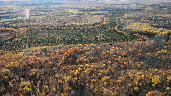
The ability to evaluate, measure and moderate or remediate the impacts of climate change on forests and forest ecosystem services is directly related to our ability to accurately measure, quantify and summarize forest resource data. The development of new inventory systems that combine qualitative and quantitative data acquired by remote sensing platforms and field data collections and integrated using landscape scale models is at the heart of our research to better understand how forest ecosystems have been imparied and how we can restore function to these systems.
Program Goals
- Characterize the current condition of Minnesota’s working lands
- Identify the abiotic and biotic factors responsible for changes in Minnesota’s native plant communities
- Model these changes, extrapolate potential consequences, and identify solutions to adapt to these changes, moderate their impacts, or restore forest ecosystem function
Capabilities and Expertise
- Analyze remotely sensed and field collected data, create datasets for model inputs, model data and develop and implement tests to ensure model accuracy.
- Model forest and non-forest landscape change through time and identify potential impacts of anthropogenic caused changes in ecosystems and landscapes.
- Develop data analysis and visualizations that translate and communicate findings to land managers, decision makers and the general public.
Staff
Related News

On the market for fast landscaping and more; research is underway for pollution clean-up, carbon capture, biomass feedstock crop.

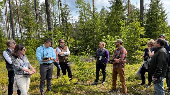
NRRI leaders join U.S. contingent on field trip to Finland to share, learn and collaborate.

NRRI technicians travel far and wide to get the data that informs the research.

Pine marten study underway compares difference between two habitats and impact on species.

Intern project gives data the GIS treatment for easy access to pine estimates and logging harvest activities

Research effort to provide artificial tree cavities attracted some fishers, other wildlife; expanded project will study predators

NRRI’s ForCAST modeling tool helps resource managers plan for environmental changes and impacts to wildlife and industries.

Northwoods bobcats and fishers research leads recent graduate Nate Weisenbeck to sea turtles on Florida beaches.
GIS skills and biology background come together in data delivery role for Kristi Nixon.

NRRI report on Ecosystem Services applies a monetary value to School Trust Lands ability to store carbon and improve environmental health.
Media Coverage
- – Whatever happened to … birch bark extracts? – Hometown Focus
- – LET IT GROW: Northland research lab creates new way to fight climate change – Northern News Now
- – NRRI’s popular Poplar InnovaTree is helping the environment – WDIO
- – A new species of tree helps remove large amounts of carbon dioxide from the atmosphere. You can only get it from a Bayfield farm – Wisconsin Public Radio
- – UMD’s fast-growing Innovatree poses solution for reforestation, environmental cleanup – KSTP-TV
- – A new fast-growing tree species out of Minnesota may be part of a climate change solution – MPR News
- – After 30 years, researchers at the University of Minnesota Duluth have created a new tree – Star Tribune
- – University of Minnesota trademarks fastest-growing poplar tree – Duluth News Tribune


