Featured Research Labs
Program Overview
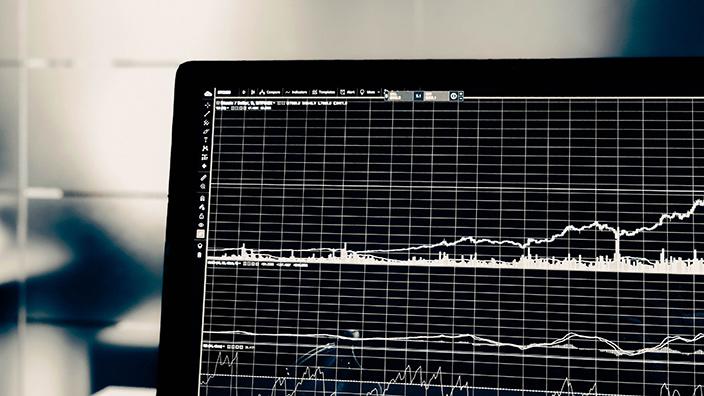
NRRI’s Data Analysis, Interpretation, and Visualization Program helps people and organizations understand their data. Our goal is to facilitate collaboration, increase re-use of high value datasets and increase data impact. Through a combination of analytical approaches, ranging from traditional statistics to state-of-the-art machine learning approaches, and effective visualization, our researchers drive accurate data interpretation in a variety of disciplines.
We also help organizations and individuals compile and manage the data to understand complex systems and answer complicated questions. With expertise in spatial and non-spatial data, custom workflows and a deep knowledge of existing and expected data products, we can help ensure that you have the most appropriate and current data available for your projects.
Program Goals
- Drive better decision making through effective use of data and information
- Support data-intensive research with efficient workflows and novel statistical approaches
- Create, discover, and assemble custom data sets that meet the needs of the Institute and our partners
- Provide feedback on experimental design, statistical analysis and data exploration
Expertise and Program Resources
- Expertise in statistical analysis, database management, programming languages, and specialty software
- High-Performance Computing, access to Minnesota Supercomputing Institute resources
- GIS laboratory, remote sensing, processing of LiDAR data
- Data cleaning and wrangling
- Custom method development and custom visualization
Recent Projects
- Minnesota Restorable Wetland Index update
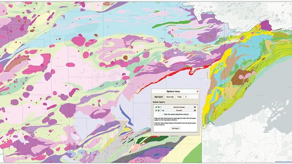
- Great Lakes Risk Map
- Forest Optimization Project
- Minnesota Bird Atlas
- Assembling Minnesota
Staff


Featured Research Projects

Related News
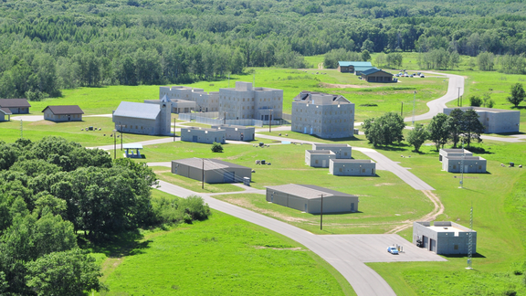
NRRI study maps conservation opportunities for Camp Ripley Sentinel Landscape in face of climate change.

An easy-to-use online Minnesota Atlas, developed at the Natural Resources Research Institute, received recognition from the Office of the Governor as recommended by the Minnesota

NRRI Scientist Will Bartsch delivers easy-access, data-driven information for good resource decision-making.