Kristi Nixon M.S.

Kristi Nixon headshot
Professional Title
GIS Specialist

Bio

Kristi joined NRRI in 2016 as a GIS specialist and is involved in various Land and Water research projects. She is interested in landscape ecology, spatial analysis, modeling, remote sensing, and web map development to help inform sustainable natural resource management. She also pilots a fixed-wing and quad-copter drone for remote sensing of NRRI project sites.

Education 

  • GIS Certificate, University of Wisconsin - Madison, 2016
  • M.S. Conservation Biology and Sustainable Development, University of Wisconsin - Madison, 2012
  • B.A. Biology, Carleton College, 2009

Publications

Research Gate profile

Featured Research Projects

The ForCAST tool attempts to provide forestry professionals and land managers with an opportunity to evaluate how a changing climate and changing markets might affect Minnesota’s forests and

Online mapping tools and data for natural resource planning, management, and research in Minnesota.

NRRI News Articles

A woman stands outdoors by a small aircraft pointing toward sky.

NRRI’s new vertical take-off drone improves efficiency and accuracy of data-gathering.

A woman and man stand behind a desk looking at a large map.

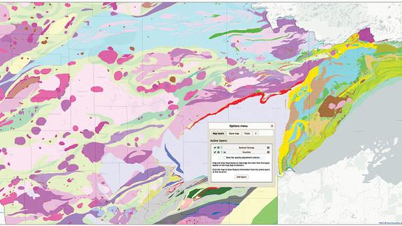
NRRI plays key role in collecting critical minerals data for USGS Earth Mapping Resources Initiative.

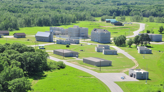
Aerial view of Camp Ripley

NRRI study maps conservation opportunities for Camp Ripley Sentinel Landscape in face of climate change.

Media Coverage