Getting an MRI – Magnetic Resonance Imaging – at a hospital allows doctors to get a detailed, 3D image of a person’s body to diagnose diseases deep within.
The U.S. Geological Survey is doing an MRI of sorts on select regions of the United States. They’re even calling it Earth MRI, but the acronym stands for Mapping Resources Initiative. And like the hospital MRI, this project gathers magnetic data, but of the earth’s geology, collected by aircraft. This technology allows geophysicists to locate geologic features that have enhanced potential for critical minerals, vital to the nation’s economy but that are largely sourced from foreign countries.
And, of course, Minnesota – with its rich iron resources – is one of the select regions being mapped, especially near the Iron Range. Of special interest is manganese, a critical ingredient for making steel.
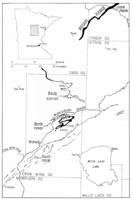
“The Cuyuna district has the richest intercepts of manganese-bearing rocks anywhere in North America,” explained recently retired NRRI Geologist George Hudak. “The rocks there are thought to be formed at the same time as the iron formations on the Mesabi range, but they’re in a slightly different environment, enriched in manganese. They’re really complicated rocks.”
The aerial surveys are designed to identify areas with the most potential by “reading” the magnetic properties of the rocks – even under forests, roads and structures. NRRI geologists will conduct the physical and chemical characterization of drill core rock samples at the Minnesota Department of Natural Resources in Hibbing, which has a large drill core collection from areas identified by the aerial survey.

Different rocks have different magnetic properties, so the data collected in the aerial survey is a first pass to narrow down areas with the best potential for further study. That’s what NRRI Geologist Joyashish Thakurta will be tackling next.
“We will use a hand lens and microscope and physically analyze a few hundred cores,” said Thakurta. “Then we’ll make polished thin sections from the most promising for chemical analysis at the U.S. Geological Survey. It’s a large and very thorough project.”
The new geophysical data will be processed to develop high-resolution three-dimensional representations of bedrock composition and structure to depths more than 3,280 feet, more than half a mile, below the surface.
The critical mineral commodities that are the focus of these surveys are:
- Manganese, used in steelmaking and batteries
- Cobalt, used in rechargeable batteries and superalloys
- Nickel, used to make stainless steel, superalloys and rechargeable batteries
- Platinum group elements, used in catalytic converters
In addition to the physical analysis of the core samples, NRRI is also developing Geographical Information Systems (GIS) databases of the information gathered, making the data more easily accessible. The data will also be added to NRRI’s “Assembling Minnesota” database, which is a compilation of a large volume of geological data collected from a wide variety of sources: academic, governmental and industry.
Hudak worked on a similar study, developing the lithogeochemical and petrographic data, focusing on the “Mentor Intrusion,” an area southeast of Crookston in northern Minnesota. The effort to build it into a database, due in September 2025, is being picked up by Thakurta and NRRI GIS Specialist Kristi Nixon.
“This is a three-year effort,” said Hudak. “And Minnesota is an important target for more information because of our spectacular geology and the combined geologic knowledge of NRRI, the DNR and the Minnesota Geological Survey.”
The U.S. Geological Survey is investing more than $2 million on this effort in central Minnesota to map critical mineral resource potential and also inform understanding of water resources, groundwater pathways near legacy mining areas, parameters for infrastructure and land use planning, and potential risks of naturally occurring radon.
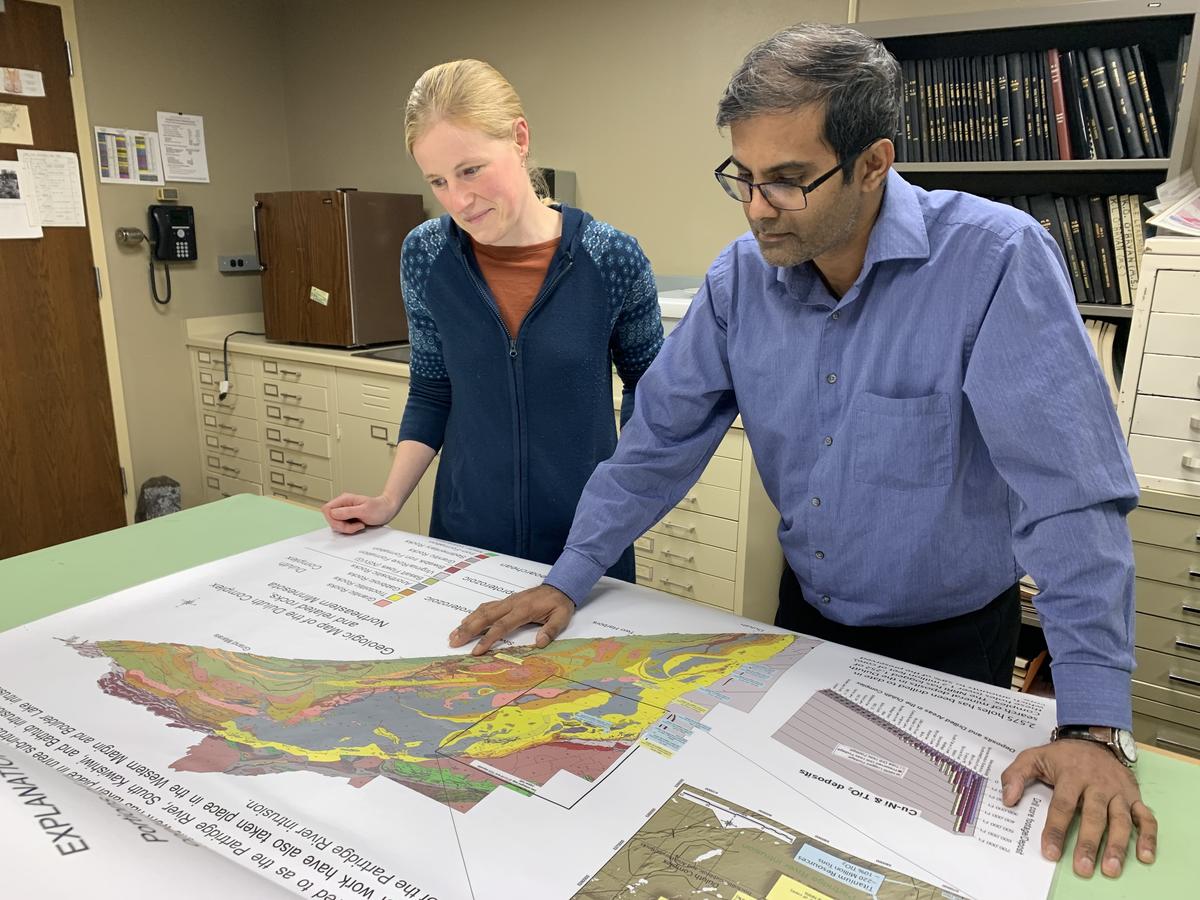
Photo Top: NRRI Geologists Sara Post and Joyashish Thakurta refer to a map of NE Minnesota mineralization.
