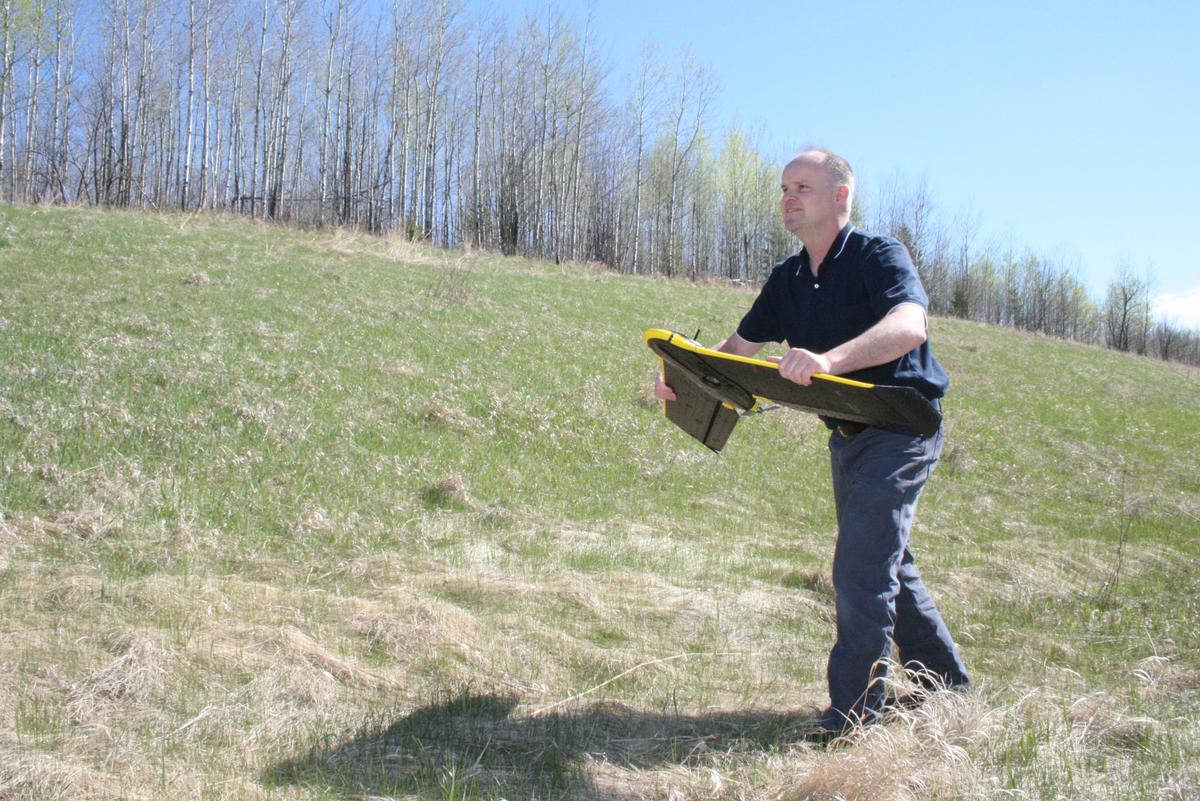
Gathering amazingly precise and efficient data is now possible with drone (Unmanned Aerial Vehicles or UAVs, in polite circles) and LiDAR (Light Detection and Ranging) technologies. And NRRI is helping to expand their use to Minnesota’s legacy industries – mining, forestry and forest products – as well as wetlands, wildlife and invasive species management.
From Up Above
It soars over the treetops so raptor-like that threatened birds of prey go on the attack. The black, winged UAV, controlled from the ground by NRRI Researcher Paul Meysembourg, digitally photographs a forest plot near Duluth to gather data on tree height. From the images, NRRI Forestry Specialist Dan Buchman can estimate tree age and density to predict timber volume.
“We already have lots of data that we’ve collected over the decades from other projects,” said Buchman. “With our understanding of tree growth – especially aspen and red pine – and the accuracy of the data we get with the UAVs, these are powerful tools.”
The idea of applying multi-spectral cameras to flying craft came out of the agricultural industry. The special cameras capture images in special shades – green, infrared, near-infrared and red-edge – that are reflected by changing colors in plants. Farmers can see over thousands of acres where their crops are failing.
For forest applications, resource managers can see where there’s water stress, insect invasions or nutrient deficiencies. The most obvious use allows foresters to quickly and inexpensively track tree growth and monitor harvests. NRRI is also considering applications like watching for where biomass should be harvested to reduce fire hazards, and forest fragmentation problems for wildlife.
“We can zip over to a plot, gather the information in an afternoon and have it ready to analyze the next day or two,” said George Host, NRRI Forest and Land Initiative Director. He also wants to expand use of the camera-laden UAV to mining operations and to monitor tailings stockpiles and calculate their volume.
From Down Below
After the Minnesota Legislature funded high-resolution elevation LiDAR scanning of the whole state, top to bottom, Dean Peterson saw an opportunity. He could use that free data to “see” in three dimensions where bedrock is exposed on the surface and where mineral core holes were drilled. Exactly.
“It’s just incredible,” said Peterson, NRRI senior geologist. “With the surface accurately mapped and the unseen depths geologically modeled, we are on the cusp of a more robust understanding of Minnesota’s geology and ore deposits.”
At his desk using the NRRI’s GOCAD ® 3D geological software, Peterson points out the glacial landforms, noting how the glaciers moved across the landscape. He zooms in on the Iron Range, the Laurentian Divide and old, turn-of-the-century mining sites.
For new mining opportunities, it allows for a thorough examination of the geology and mineralization exposed on the surface and at depth without sticking a shovel into the ground. With an accurate understanding of the valuable mineral mix and potentially harmful byproducts, a better plan can be presented for permitting. Environmental impacts can be reduced with more targeted mining for the highest value ores.
“When I first started in geology, we had no GPS,” Peterson reflected. “We’d spend at least a third of our time just figuring out where we were in the woods. And when you were standing on magnetic iron formation, the compass would be useless, of course!”
Today’s geologists know exactly where they are with GPS, where the minerals could be exposed with LiDAR and 3D software to visualize unseen geology and mineral deposits.
NRRI will apply its multi-disciplinary approach to expanding the uses of these tools even further. The added accuracy and efficiency will take industries and data-gathering to new heights. And new depths.
