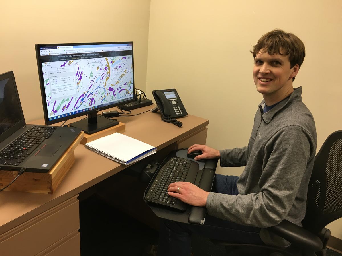
Pump your own gas. Check yourself out at the store. Now, access your own data – hundreds of layers of data – to plan projects and make development decisions.
What once required digging and searching through many different databases and records, the assistance of a technology whiz and many hours of compilation can now be accomplished with a few clicks. A new online tool developed at the Natural Resources Research Institute will help communities, industries and non-governmental or nonprofit agencies in northeast Minnesota gain the big-picture view needed to plan development projects, help manage natural resources, or just understand what’s there.
The Minnesota Natural Resources Atlas is a combination of mapping tools and data, packaged together in this easy to view and access format. It’s available free at mnnaturalresourceatlas.org and covers northeast Minnesota, though plans are in place to expand it across the state.
“It’s really going to be useful to small organizations with limited GIS capabilities, or really anybody, to get the information they need to make more informed decisions,” explained Senior Research Scientist Will Bartsch who has been developing this system over the past two years.
A few clicks can access a data catalog of over 250 multi-disciplinary spatial datasets that help the user understand, view and share that data. Collaboration to develop the tool spanned interdisciplinary units of University of Minnesota and consultations with federal, state and tribal agencies.
Someone in the agricultural industry might want to know the locations of feedlots and crop coverage. A wildlife researcher might want to know more about an area’s flora and fauna, trout lakes and natural boundaries. Easily access historical precipitation records. Discover mineral resources, bedrock geology or aggregate locations.
Open the Water tab in the Data Catalog to view public fishing sites, water table depth, wetlands and wild rice lakes. Click on the Society & Economy tab to gather population data, cost of living and social vulnerability index.
“Our goal is to make information accessible, mostly to people who need it to make good decisions, but also the general public,” said Bartsch. “Our beta test participants told us it’s very easy to use.”
This northeast Minnesota demonstration project was funded with a portion of $2.6 million from the state legislature that NRRI received for a Mining and Water Innovation Initiative. Additional funding from the Department of Iron Range Resources, matched by NRRI, is currently maintaining the datasets. Additional legislative funding is being sought to extend the coverage across the state and keep the atlas updated, vetted and accurate into the future.
